 Models
 Materials
 HDRIs
 Scenes
 Brushes
 Node Groups
 Printables
 Creators
 Creations
Globe Gen - Interactive 3D Earth Map
 add-on
Cinematic Earth animations in Blender: 3D globe or flat world map, cities, animated routes, countries and custom borders, Earth Zoom from space to the city with real 3D buildings, five map styles, effects and one-click MP4 render.
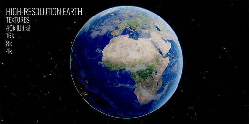
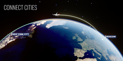
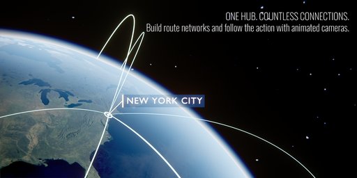
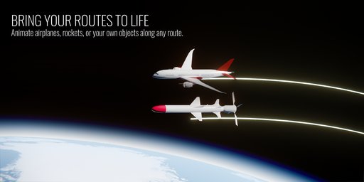
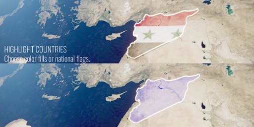
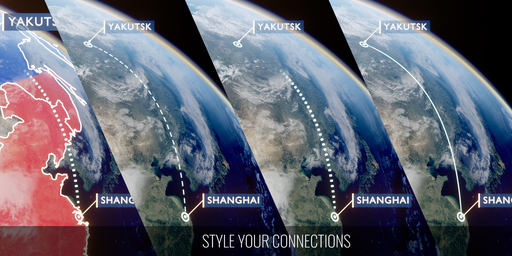
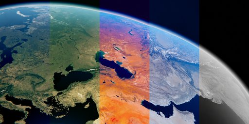
Turn locations, routes and data into cinematic Earth animations. Build a 3D globe or a flat world map, connect cities, highlight countries, dive from space down to a city with real 3D buildings, and render the final video, all from one Blender extension.
NEW: Earth Zoom, from space to the streetsPick a point and Globe Gen dives the camera from orbit down to the city: through the clouds, with a light camera shake, onto sharp aerial pictures of the place. At the end, real 3D buildings grow out of the ground, textured with the photo of the city.
- Pictures download automatically when you choose a point: cloud-free Sentinel-2 satellite images worldwide (10 m), and sharp aerial photos (down to about 0.6 m) for the USA, France, Switzerland, the Netherlands, Spain and Japan. Everything is cached.
- 3D buildings from OpenStreetMap with real heights: White, Color, Glow or Photo Texture looks, with control over radius, height and growth timing.
- Fly-through clouds and camera shake with their own settings, a soft round mask for the pictures, and a marker that fades out on the way down.
- Use your own pictures for any level (region, city, street): drone shots, maps, drawings.
- Finish on your own photo or video. It cross-fades in at the end and stays clean: the color grade never touches it. Zoom Out works too.
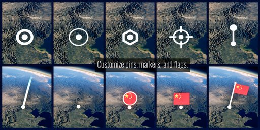
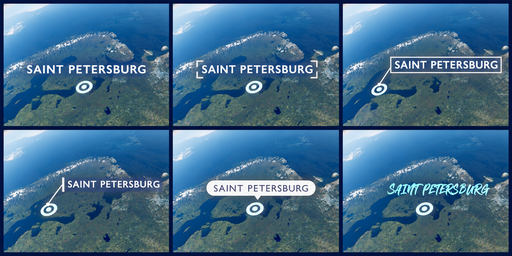
Search more than 3,100 cities, continents and oceans, or enter exact coordinates. Add pins, labels and flags in several styles. Camera-facing labels keep names readable as the shot moves.
ConnectionsConnect locations with 3D arcs or surface lines. Control height, bend, thickness and glow. Choose solid, dashed or dotted lines and send an airplane, a rocket or any model from your scene along the route. Use Chain All for a journey: the lines play one after another, without overlaps. Hub From Active builds a network around one location, Animate All times the whole story in one click.
Countries & bordersHighlight countries and US states with color, borders, extrusion and animated reveals. Fill countries with their flags, or with your own flag, coat of arms or emblem. Import your own borders from GeoJSON or SVG: historical empires, custom zones, sales territories or front lines.
CameraFollow the Line travels along one connection, Whole Route along a full journey with a steady north-up heading. Adjust distance, elevation, roll, orbit, zoom and smoothing; every slider updates the shot live.
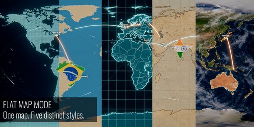
Globe or flat map, five stylesRealistic, Paper, Hologram, Dots and Flat styles with your own land, ocean and line colors. Turn the globe into a flat world map with one click: pins, routes, countries, effects and cameras keep working.
Look & effects- Day and night, city lights, clouds, atmosphere, sunlight, stars, bloom, lens streaks, chromatic aberration and vignette
- Six color-grading presets and eleven node-based color looks; volumetric clouds for Cycles
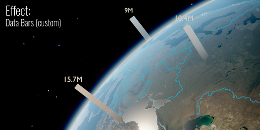
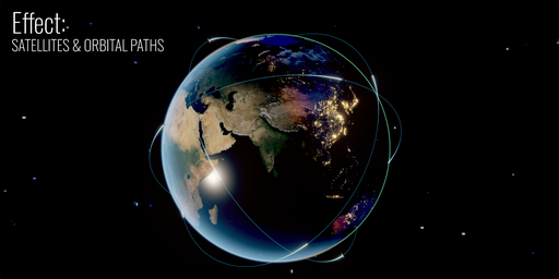
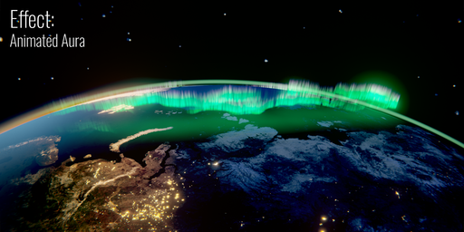
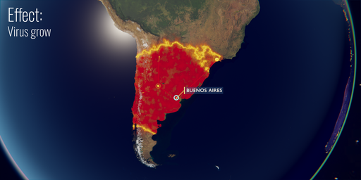
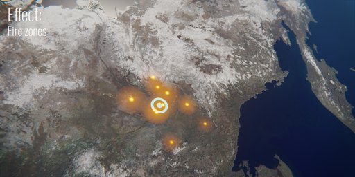
- Satellites with orbit lines and trails, Aurora, Virus Spread, Fires and animated Data Bars
Render MP4 (H.264) or a PNG sequence right from the Globe Gen panel. Pick a resolution (HD, Full HD, 2K, 4K, cinema 2.39, vertical Reels / Shorts, square), frame rate, frame range, render region and output folder, then press one button.
Requirements & data- Blender 4.2 or newer; tested in Blender 4.2 and 5.2. Eevee and Cycles (volumetric clouds require Cycles).
- Earth textures are downloaded through the add-on. Internet access ("Allow Online Access" in Blender) is needed for textures and for Earth Zoom pictures and buildings.
- Aerial photos: USA, France, Switzerland, the Netherlands, Spain and Japan; elsewhere Earth Zoom uses 10 m satellite images. Building heights come from OpenStreetMap and vary by city.
- Airplane, rocket and satellite models are included.
Earth textures: Solar System Scope, CC BY 4.0. Satellite pictures: contains modified Copernicus Sentinel data 2021, ESA WorldCover (CC BY 4.0). Aerial photos: USGS, IGN France, swisstopo, PDOK, IGN España, GSI Japan. Buildings: OpenStreetMap contributors (ODbL).
Video tutorial


